 The Paleoindian Database
of the Americas
The Paleoindian Database
of the Americas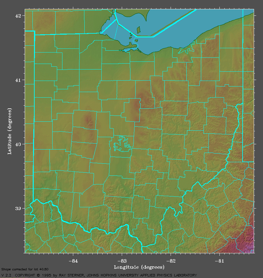
| Links | References |
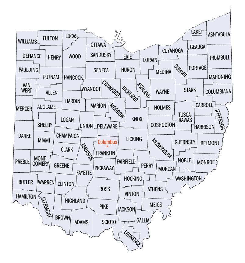
Survey of Ohio Fluted Points (SOFP) By County and Material with Images |
Eren, Metin I., Brian G. Redmond, and Mark A. Kollecker Leper, Bradley T. Tankersley, Kenneth B. |
|
The Paleoindian Database
of the Americas |
||||
|
||||
| The University of Tennessee Department of Anthropology· Knoxville Tennessee 37996 · Telephone 865-974-4408 |